India's Greatest Himalayan Road Trip
The drive from Guwahati to Tawang covers approximately 500km and takes at least two days — preferably three. In those 500km, you travel from the Brahmaputra floodplains of Assam at near-sea level to the high Himalayan valleys of western Arunachal Pradesh at over 3,000 metres. The change in landscape, climate, culture, and vegetation is staggering.
This is not a casual road trip. Roads are mountain roads — often single-lane with precipitous drops on one side. Altitude sickness is a genuine concern above Bomdila. Passes can be closed by snow in winter. But for those who make the journey, Tawang delivers some of the most breathtaking scenery and most memorable experiences in all of India.
Route Overview
Guwahati → Bhalukpong → Dirang → Bomdila → Sela Pass → Tawang
Day-by-Day Breakdown
Day 1: Guwahati to Dirang (330km, 7–8 hours)
Depart Guwahati early (5–6 AM). The first 80km to Bhalukpong (the Arunachal Pradesh border) runs through flat Assam countryside. At Bhalukpong, you enter Arunachal Pradesh — Inner Line Permit is required for all Indian nationals. Have your permit ready.
From Bhalukpong, the road begins climbing immediately into the Kameng River valley. The landscape shifts from tropical to subtropical forest. Pass through Tezpur (if taking the longer alternate route via the Shergaon road) or stay on the direct route.
Bomdila (2,415m) is the headquarters of West Kameng district — a good overnight stop. But with an early enough start, many continue to Dirang (1,560m), a warm, pleasant valley town with apple orchards and hot springs (Dirang Dzong hot spring bath is a welcome stop after a day's driving).
Overnight in Dirang.
Day 2: Dirang to Tawang via Sela Pass (140km, 5–6 hours)
This is the legendary day. Leave Dirang early. The road climbs steeply from the valley floor to Sela Pass (4,170m / 13,680 feet) — one of the highest motorable passes in India.
Just below the pass sits Sela Lake — a frozen or near-frozen alpine lake surrounded by snow and prayer flags. The view is otherworldly. Stop here for photos and a thermos of tea from the military canteen (yes, there's a canteen at 13,000+ feet).
On the far side of Sela, the road descends toward Jaswant Garh — a memorial to Rifleman Jaswant Singh Rawat, a soldier of the 1962 war who held off Chinese forces single-handedly for 72 hours. The memorial is moving and the setting dramatic.
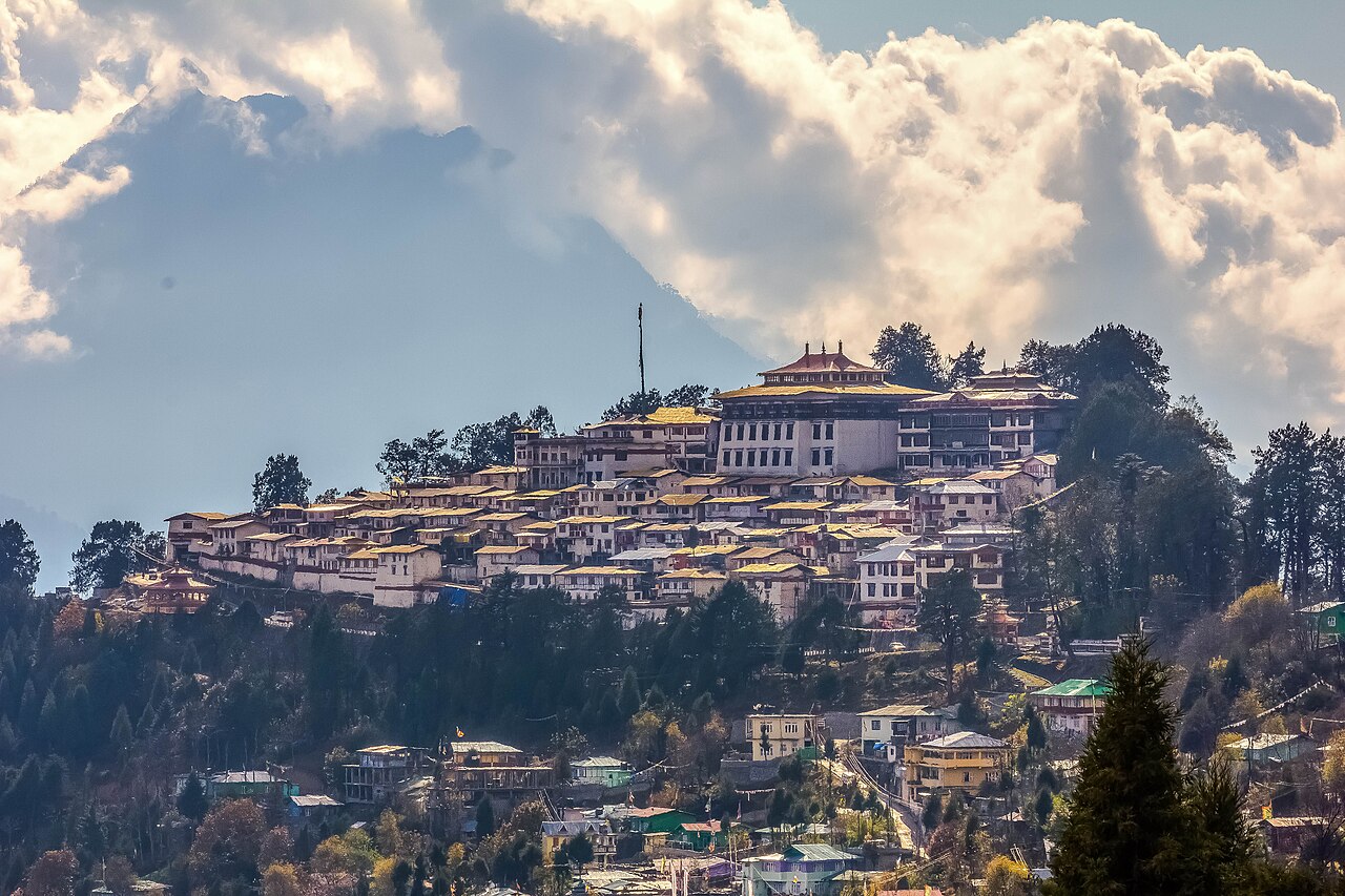
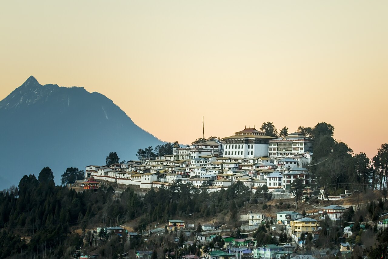
Continue to Tawang (3,048m). Arrive by early afternoon. The town and its famous monastery sit in a bowl of mountains that turns pink at sunset.
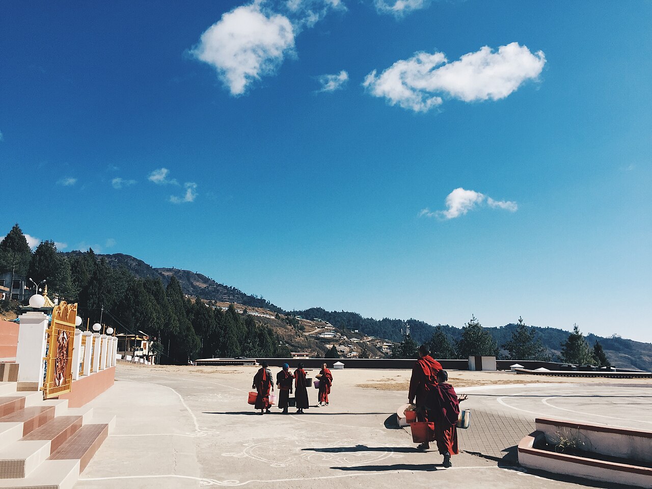
Tawang Highlights
Planning to visit?
Private cab from ₹4,500 · Local driver · Book free, pay 10% on confirm
Inner Line Permit for Arunachal Pradesh
All Indian nationals require an ILP to enter Arunachal Pradesh. Apply online through the Arunachal Pradesh Online ILP System (itanagalr.nic.in). The permit is free for Indian nationals and issued within minutes. Print it out and carry the original plus a government ID.
Foreign nationals require a Protected Area Permit (PAP) — apply through the Ministry of Home Affairs or a registered travel agent.
Road Conditions
Altitude Sickness
Tawang sits at 3,048m and Sela Pass at 4,170m. If you drive straight from Guwahati (near sea level) to Tawang in 2 days, altitude sickness is likely for some travelers. Symptoms: headache, nausea, fatigue, dizziness.
Mitigation: Spend a night at Bomdila (2,415m) before Dirang, drink plenty of water, avoid alcohol, and ascend slowly. Carry Diamox (acetazolamide) tablets if recommended by your doctor.
Fuel & Facilities
Plan your Guwahati–Tawang adventure with Meghalaya Cabs. We operate this circuit with mountain-experienced drivers who know Sela Pass conditions and can manage ILP assistance. WhatsApp us for a tailored Tawang package.